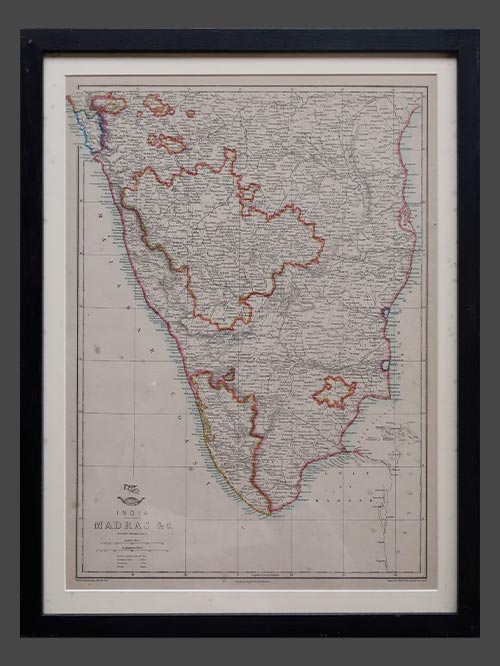
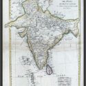
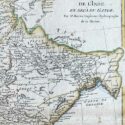
L’Empire du Mogol
SOLD
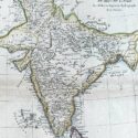
Original engraved map by Rigobert Bonne (1727-94)
Image Size (cms): 37(H) x 27(W)
Image Size (inches): 14.5(H) x 10.5(W)
Out of stock

SOLD
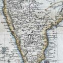
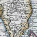
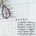
Original engraved map by Rigobert Bonne (1727-94)
This original copper-plate engraved map of India from the Mogul Empire in the north to the Ganges and south to Ceylon was published in Paris for the Atlas Supplement, circa 1787.
Bonne was a renowned French cartographer, recognised as one of the most significant figures in cartography during the late 18th century. In 1773, he succeeded Jacques Nicolas Bellin as Royal Cartographer to France, serving as Hydrographer at the Dépôt de la Marine. In this role, Bonne produced some of the most detailed and accurate maps of his era. His work marked a shift in cartographic style, moving away from the decorative designs of the 17th and early 18th centuries toward a more practical and detail-oriented approach. While retaining stylistic similarities to Bellin in terrain depiction, Bonne’s maps typically omitted decorative features like elaborate cartouches, hand coloring, and compass roses. Primarily focused on coastal regions, Bonne’s maps are highly esteemed for their precision, historical value, and aesthetic simplicity.
Image Size (cms): 37(H) x 27(W)
Image Size (inches): 14.5(H) x 10.5(W)
Out of stock