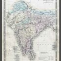
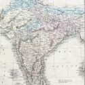
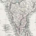
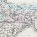
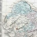
Map of Hindoostan
Original engraved map by George Philip & Son
Image Size (cms): 32(H) x 24.5(W)
Image Size (inches): 12.5(H) x 9.5(W)

Original engraved map by George Philip & Son
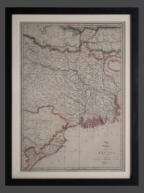
Detailed map of India with two inset cartouches of area and population of the British states and the foreign possessions namely the Portuguese, Dutch, French and Danish. It was published by George Philip & Son in Liverpool circa 1858.
George Philip (1800–1882) was a Scottish map publisher and cartographer who founded his own firm in Liverpool in 1834 after apprenticing with a printer and bookseller. Initially focusing on educational materials, he collaborated with noted cartographers like John Bartholomew Sr. and August Petermann. In 1848, he brought his son, George Philip Jr. (1823–1902), into the business, renaming it George Philip & Son Ltd. Under George Jr., the company became a major publishing house and later established the London Geographical Institute, embracing modern printing techniques to produce high-quality, affordable maps on a large scale.
Image Size (cms): 32(H) x 24.5(W)
Image Size (inches): 12.5(H) x 9.5(W)