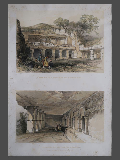
")
")
")
")
")
")
")
")
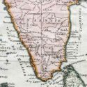
South India
Original engraved map by Pieter van den aa (1659-1733)
Image Size (cms): 23.5(H) x 34(W)
Image Size (inches): 9.5(H) x 13.5(W)
")
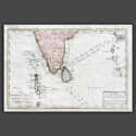
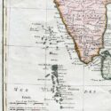
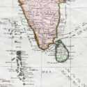
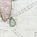
Original engraved map by Pieter van den aa (1659-1733)
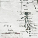
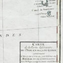
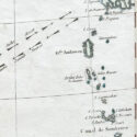
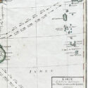
This map, created by Rigobert Bonne and G. Raynal in 1784, depicts Southern India, Sri Lanka, the Maldives, and the Andaman and Nicobar Islands. It includes arrows indicating the direction of trade winds across the Indian Ocean, showing seasonal patterns. The map is highly detailed, displaying towns, rivers, topographical features, ports, and political boundaries. It was part of G. Raynal’s Atlas de Toutes les Parties Connues du Globe Terrestre, published alongside L’Histoire Philosophique et Politique des Établissemens et du Commerce des Européens dans les Deux Indes.
Bonne (1727–1794) was a notable French cartographer, mathematician, and engineer, renowned for his accurate and detailed maps. Succeeding Jacques-Nicolas Bellin as Royal Cartographer to France in 1773, he was a key figure in the shift from decorative cartography to a more scientific approach. His work, especially focusing on coastal regions, is admired for both its precision and aesthetic quality.
Image Size (cms): 23.5(H) x 34(W)
Image Size (inches): 9.5(H) x 13.5(W)